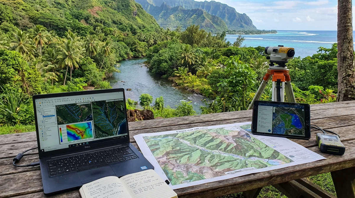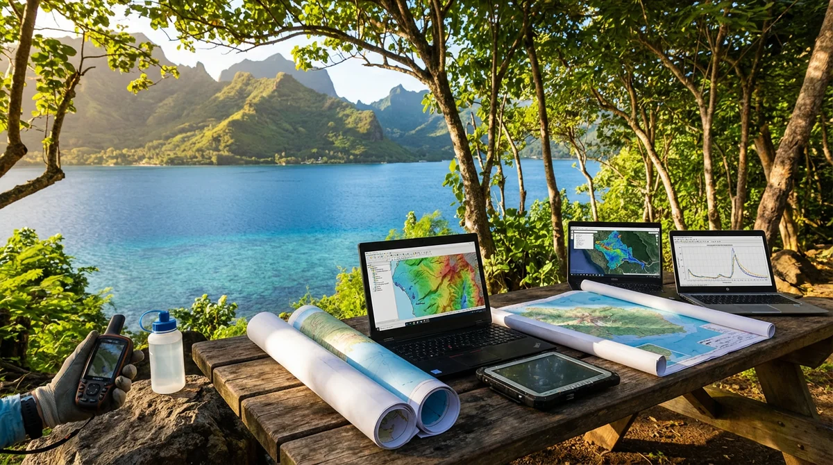
Flood discharge modelling, flood hazard mapping and design of flood protection infrastructure.
Actions carried out
- Flood discharge modelling
- Flood hazard mapping
- Proposal and design of mitigation infrastructure to reduce flood hazards
Practical results
- Improved integration of flood risk into planning and land-use decisions
Study commission for the production of flood hazard mapping and a technical flood protection programme for the Nahoata (Pirae), Fautaua (Pirae/Papeete) and Ahonu (Mahina) rivers on the island of Tahiti.