Post-flood field survey, 1D/2D modelling and infrastructure proposals with financial estimates.
Actions carried out
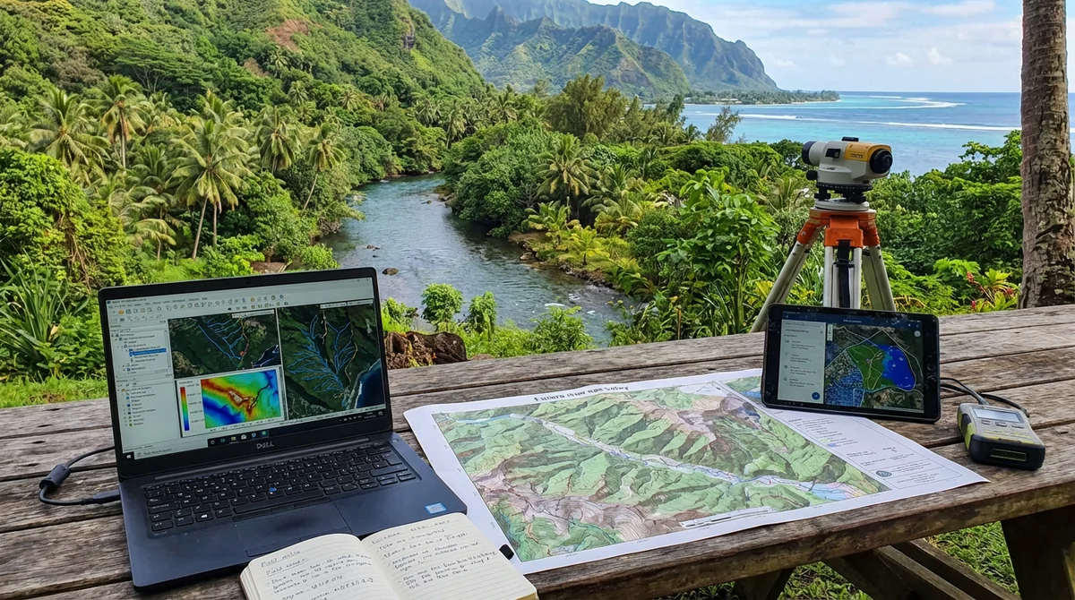
- Field survey of the 1 May 2023 flood event (residents, municipality and DCA, DEQ, OPH, fire service, etc.)
- Analysis and evaluation of the event (return period, aggravating factors, etc.)
- On-site ecological assessment with in-depth analysis of 10 cadastral plots
- Detailed assessment of the safety of property and occupants of pre-dimensioned OPH housing units
- 1D/2D modelling of the Q10 and Q100 flood events including log jams and sea level rise
- Infrastructure proposals to reduce flood hazards, with financial estimates
- Post-infrastructure modelling showing the impact of works
Practical results
- Improved integration of flood risk into planning and land-use decisions
Update of the flood hazard mapping for the Fauoro River at Teahupoo following the flood event of 1 May 2023, including a field survey, 1D/2D modelling and costed infrastructure proposals.